
Infrastructure
7 articles
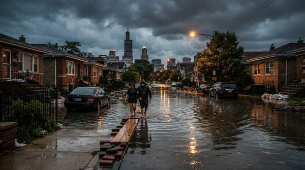
Why Chicago Floods: Five Root Causes and a Two-Level Plan to Fight Back
Chicago's urban flooding stems from five interrelated causes: environmental conditions, climate change, development, stormwater systems, and regulatory structure. A two-tiered plan involves regional infrastructure improvements and property-level actions for residents.

Chicago Invests $27 Million in Logan Square Traffic Circle Redesign
For $27 million, Logan Square's iconic traffic circle has been transformed, rerouting major avenues and creating nearly an acre of new public park space.

Bronzeville Trail project launches with soil testing
Environmental soil testing has begun at the abandoned rail site, officially launching the $100 million Bronzeville Trail project.

Cities work to fix storm damage
In New York City, the market value of real estate in the 100-year floodplain has surged to over $176 billion, a 44% increase since Superstorm Sandy.

Midwest storms unleash 90 mph winds, causing widespread damage
By Thursday morning, nearly half a million residents across Illinois, Wisconsin, and Michigan remained without power, a stark consequence of Wednesday's severe wind storms that saw gusts up to 90 mph.

Cortland Street Bridge maintains pedestrian access until winter 2025
For Chicagoans who bike or walk, the Cortland Street Bridge, closed to cars since September, will surprisingly keep one sidewalk open until winter 2025, offering a crucial lifeline through a major reh

CDOT Seeks Feedback on Colorado Boulevard BRT Plan
Between 2018 and 2022, Colorado Boulevard, a corridor now slated for major transit upgrades, saw 117 fatal or serious crashes, marking it as a high-injury network area.